5 Amazing Snowshoe Trails

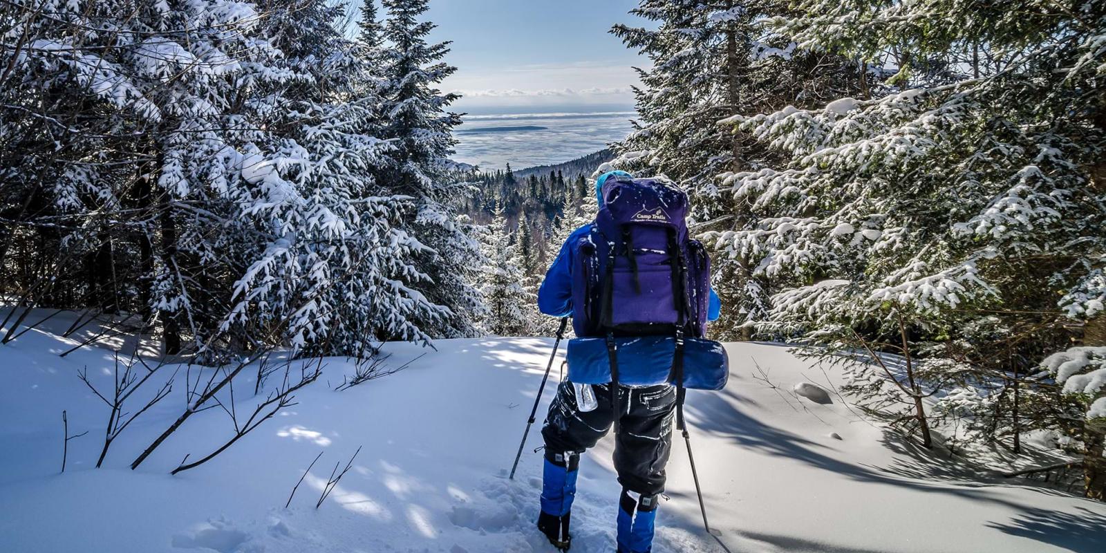
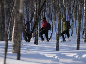
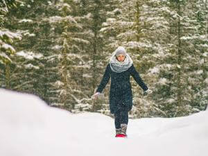
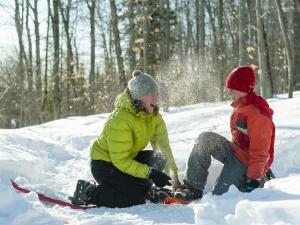
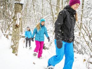
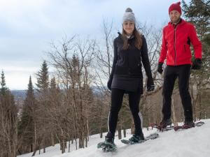
When you head out on snowshoes, you get to discover amazing spots that you’d never see otherwise. Plus, it’s super easy! You don’t have to learn any special skills and you can go at your own pace. The degree of difficulty varies depending on how steep the trail is and how much snow has fallen in the hours prior to your hike. The Québec City Area has hundreds of kilometres of marked snowshoeing trails. Here are 5 of my favourite:
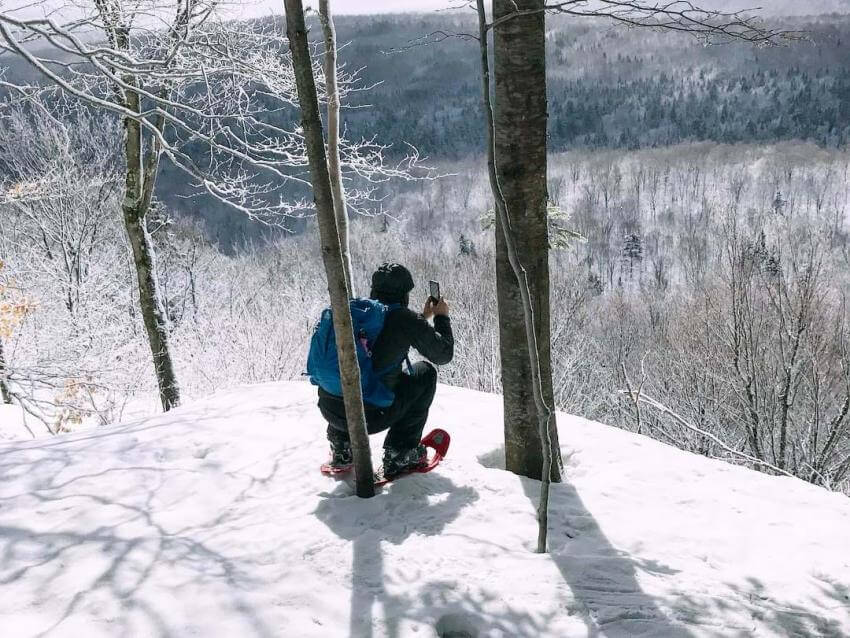
 @valboyslim Station touristique Duchesnay
1L’Aventurier Trail
Station touristique Duchesnay
Distance (there and back): 11 km (6.8 miles)
Time: 5 ½ hours
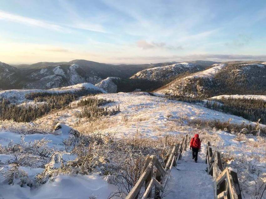
Snowshoe rentals available: YesAt Station touristique Duchesnay, there are lots of different intersecting trails, so if you end up wanting to take it easy, you can always cut out early and head back to the cabin. The Aventurier is a trail that takes you through a maple and yellow birch grove and into a mature forest. The first viewpoint is at Lac Jaune (Yellow Lake). From there, you’ll ascend to a second viewpoint, called Le Sommet (“the Summit”). On the return trip, you’ll leave behind the snow-covered evergreen trees and cross several of the centre’s lovely cross‑country ski trails.
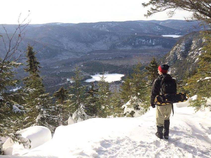
 @charlesolivierbisson, Vallée Bras-du-Nord
2Des Falaises Trail
Vallée Bras-du-Nord
Distance (there and back): 17 km (10.6 miles)
Time: 5 – 7 hours
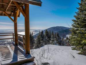
Snowshoe rentals available: YesThe trail, located at Vallée Bras-du-Nord's Shannahan reception, is ranked as difficult, partly because of the steep climb at the beginning. Your snowshoe crampons will come in mighty handy in some spots. After a few kilometres, the climb gets less steep and stays that way all the way to the Des Falaises hut—the perfect place to have your lunch or even spend the night, if you book ahead. It has an amazing view of the valley below. If you’ve still got energy left to burn, take the short loop to Cap Bédard. It’s a gentle climb that rewards you a view of the far‑off St. Lawrence River. And remember: what goes up, must come down!
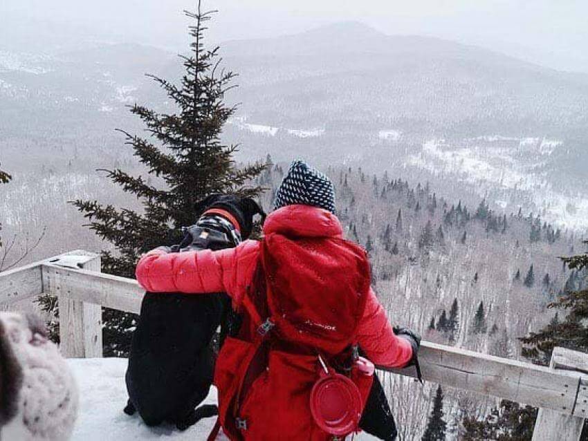
 @charlottecotee
3La Montagne à Deux Têtes Trail
Centre récréotouristique des Hautes Terres
Distance (there and back): 9 km (5.6 miles)
Time: 3 hours
Snowshoe rentals available: YesThis loop takes you up to the top of a mountain with unusual geological features located within the Centre récréotouristique des Hautes Terres. The loop isn’t too steep in either direction and takes you to two lookouts with gorgeous views of the Montmorency River Valley. When the sky is clear you can even see all the way to Québec City.
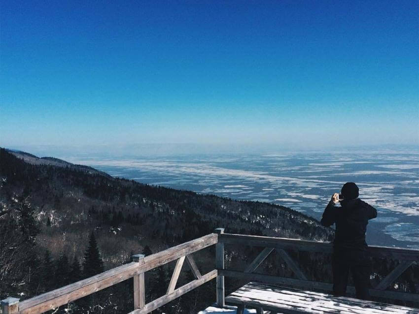
 @genevievebilodeau, Sentiers des Caps de Charlevoix
4La Faille Trail
Sentiers des Caps de Charlevoix
Distance (there and back): 8,4 km (5.2 miles)
Time: 3 ½ – 4 hours
Snowshoe rentals available: YesThe best thing about Sentiers des Caps de Charlevoix is that there are many different trails leading to lookouts with spectacular views of the St. Lawrence River. La Faille is the easiest of the day hikes. The goal is to reach the La Faille hut, perched at the top of a big geological fault line. Your hard work will earn you an incredible view of some of the islands in the St. Lawrence River.
 @montagnesaufeminin
5Mont-du-Lac-des-Cygnes Trail
Parc des Grands Jardins
Distance (there and back): 8.5 km (5.3 miles)
Time: 4 hours
Snowshoe rentals available: YesParc des Grands Jardins is a provincial park that’s about 125 km (78 miles) from Québec City. The park owes its stunning geological features to a meteor that crashed there millions of years ago as well as the passage of a few monumental glaciers. The Mont-du-Lac-des-Cygnes trail is something of a classic and a fairly easy trip. The first part of the trail winds through a beautiful forest of snow‑covered evergreens. The trail then takes you up to the bare-rock summit with its absolutely spectacular views.
